GPR Scanning Experts
What Is GPR Scanning?
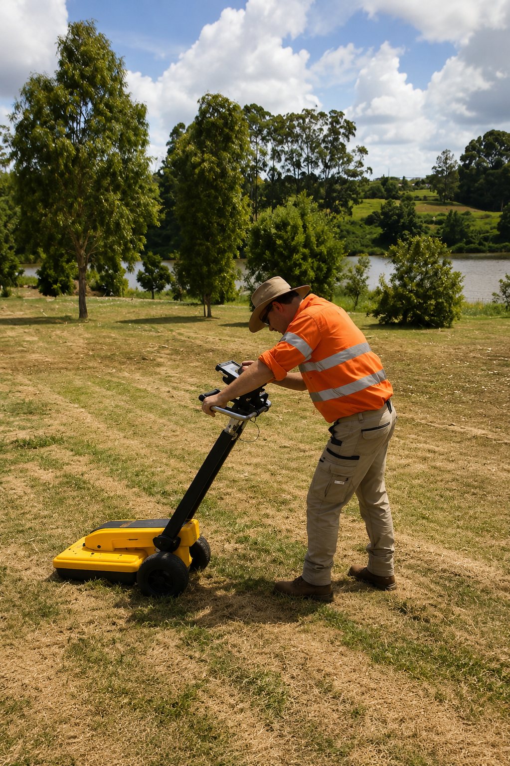
GPR Scanning (Ground Penetrating Radar Scanning) is a non-destructive method used to investigate subsurface conditions and detect certain objects or changes beneath the surface. GPR equipment sends high-frequency electromagnetic signals into materials such as soil or concrete and records the reflected signals. These reflections can help trained technicians identify potential underground or embedded features without unnecessary excavation, cutting, or surface damage.
Professional Ground Penetrating Radar can be used in a variety of environments to help identify detectable underground utilities, pipes, conduits, reinforcing steel, post-tension cables, voids, and other subsurface features. GPR may be used across concrete slabs, walls, floors, paved areas, and accessible ground surfaces depending on site conditions and project requirements. Because results can vary based on material properties, depth, soil conditions, moisture, and target characteristics, collected data must be carefully interpreted by experienced technicians.
GPR Scanning is commonly used before excavation, drilling, concrete cutting, coring, renovation, construction, and infrastructure work where better subsurface information is needed. It can help contractors, engineers, property owners, and facility managers reduce uncertainty, improve project planning, identify potential conflicts, and lower the risk of damaging detectable utilities or embedded features. When combined with other locating methods, GPR can provide valuable information for safer and more efficient project decisions.
When Is GPR Scanning Necessary?
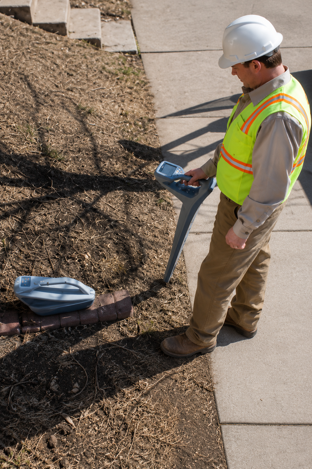
GPR Scanning is necessary when a project requires a better understanding of what may be located beneath the ground or within concrete before excavation, drilling, cutting, coring, or other intrusive work begins. Ground Penetrating Radar (GPR) can help identify detectable underground utilities, pipes, conduits, reinforcement, post-tension cables, voids, and other subsurface features that may not be visible from the surface. This information allows project teams to evaluate potential conflicts and plan their work more effectively.
This service can be especially useful during construction, renovation, utility installation, concrete cutting, roadwork, landscaping, facility maintenance, and infrastructure improvement projects. GPR may also be considered when existing plans or utility records are incomplete, outdated, or unavailable, or when non-metallic features cannot be identified using standard electromagnetic locating methods alone. Depending on site conditions, GPR can scan accessible soil, pavement, concrete slabs, walls, floors, and other suitable surfaces to provide additional subsurface information.
Professional GPR Scanning may also be necessary when reducing unnecessary excavation or surface damage is an important project requirement. Identifying potential subsurface features before work begins can help reduce the risk of utility strikes, avoid damage to embedded infrastructure, minimize unexpected delays, and improve job-site coordination. When used alongside other utility locating and mapping methods, GPR provides valuable information that supports safer, more informed, and more efficient construction and maintenance decisions.
What Is Required For GPR Scanning?
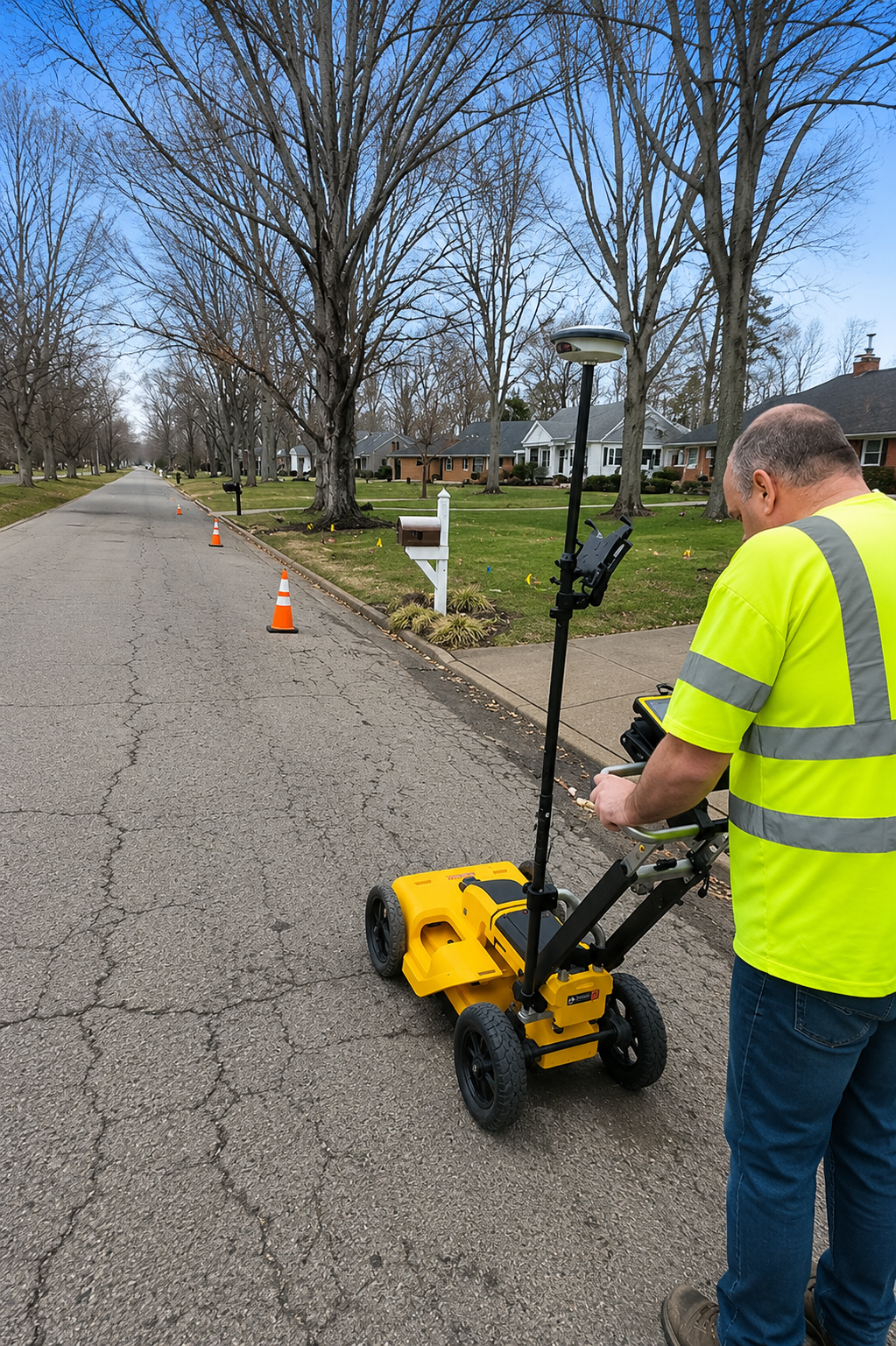
GPR Scanning requires clear access to the survey area, appropriate project information, and professional Ground Penetrating Radar equipment suited to the surface and investigation goals. Before scanning begins, technicians should understand the areas of concern and the planned work, such as excavation, drilling, trenching, concrete cutting, coring, or construction. Available site plans, utility drawings, structural records, and information about known underground or embedded features can also help guide the investigation.
The field process requires a Ground Penetrating Radar (GPR) system that transmits electromagnetic signals into the ground, pavement, or concrete and records reflections from subsurface features and changes in material conditions. The scanning surface should generally be accessible so the equipment can move across the required area. Depending on site conditions, GPR may help identify detectable pipes, conduits, underground utilities, rebar, post-tension cables, voids, and other subsurface or embedded features. Results can be affected by factors such as depth, soil composition, moisture, concrete conditions, and target material.
After scanning, the collected GPR data must be reviewed and interpreted to identify patterns or reflections that may represent subsurface features. Findings can be marked on the surface, documented for project records, or combined with other utility locating and mapping methods when appropriate. Proper equipment, experienced interpretation, and clear project requirements help produce useful information for excavation planning, concrete work, construction, renovation, maintenance, and infrastructure projects, while reducing uncertainty and potential conflicts during the work.
Our Reviews
What Our Customers Have to Say About Us!
The team was professional, responsive, and very thorough. They accurately located underground utilities before our excavation project and clearly marked everything we needed to know. The entire process was smooth and efficient.

We needed utility mapping before starting construction, and the service exceeded our expectations. The technicians arrived on time, explained the process clearly, and provided accurate results. Highly recommended for utility locating and mapping projects.
Great experience from start to finish. The team helped identify underground utilities quickly and carefully, allowing us to move forward with our project confidently. Professional communication, dependable service, and excellent attention to detail.
The Process
3 Step Process For Your GPR Scanning Needs

Contact Us
Start by completing the 'Get a Free Quote' form on our website to share your GPR Scanning needs with us.

Schedule Your Estimate
Next, we'll arrange a property visit at a time that works for you to provide an in-person estimate for your GPR Scanning needs.

Get The Job Done
After you approve our estimate, we'll schedule a date to complete the job. Our team will work hard to exceed your expectations!
Request A Free GPR Scanning Quote
BUSINESS
SERVICES
SERVICE AREAS
OPERATING HOURS
Sun: Closed
Mon: 7:00am - 7:00pm
Tue: 7:00am - 7:00pm
Wed: 7:00am - 7:00pm
Thu: 7:00am - 7:00pm
Fri: 7:00am - 7:00pm
Sat: 7:00am - 7:00pm